The Blackstock Road
Most residents of Spartanburg have no doubt spent some time on Blackstock Road. It is one of the most frequently traveled in the county, especially where it traverses the west side of the City of Spartanburg near West Gate Mall. As they travel on it, though, they may not realize that it is one of the oldest roads in the South Carolina upcountry and takes its name from the place where the Battle of Blackstock's was fought in 1780.
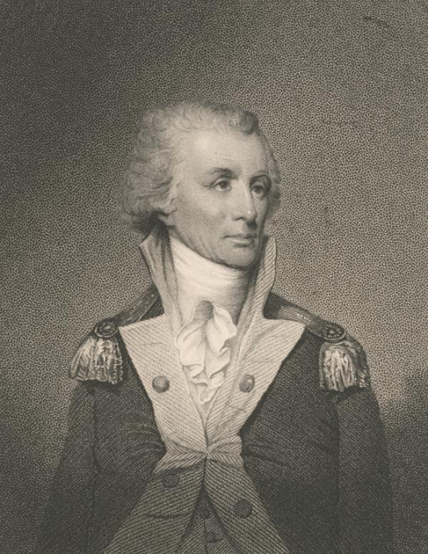
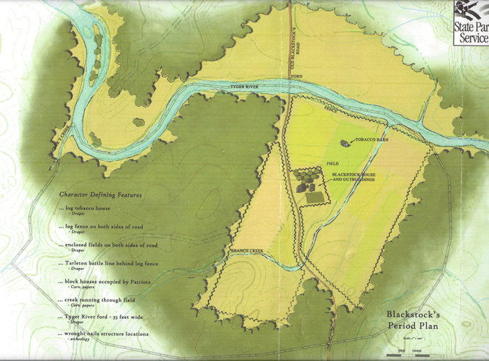
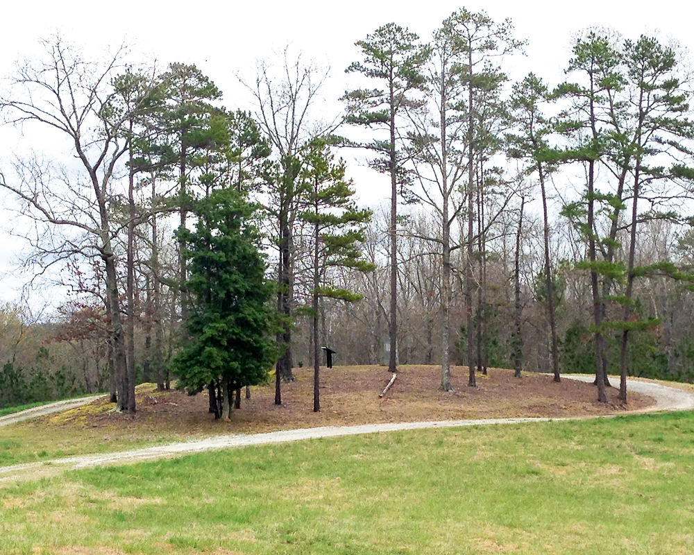
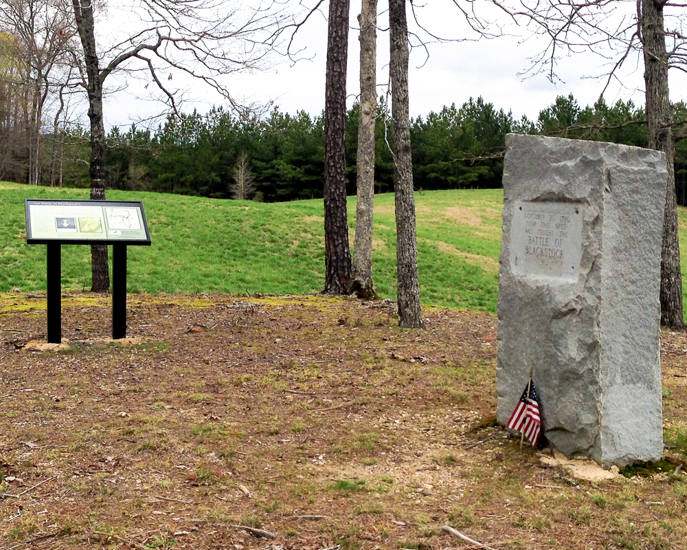
The Blackstock family was among the earliest to settle in the region, settling on the south side of the Tyger River in modern-day Union County prior to the outbreak of the American Revolution. Even before the Battle of Blackstock's was fought on the rolling hills overlooking the Tyger River at Blackstock's Plantation, the family gave its name to the road that forded the Tyger behind their home.
The earliest known maps of the Spartanburg area show the road fording the Tyger River at Blackstock's before continuing northwest to join another road south of a branch of Fairforest Creek near what is now the City of Spartanburg. By 1825, Blackstock Road extended from there all the way to North Carolina through the northwestern part of Spartanburg County. By the latter part of the 19th century, the road had changed little though the section from the Town of Inman (founded in 1882) to the NC/SC line was referred to as Howard Gap Road. In the first half of the 20th century, the crossing of the Tyger River at Blackstock's Ford was abandoned for a bridge crossing a little upstream and by the last half of the 20th century, much of what remained of the road was subsumed into SC Highway 56 in the southern part of the county, though much of it still exists very near its original route, especially through Pauline and near Inman.
No doubt all of the changes to the road and the development around it would render it unrecognizable by anyone who travelled it in the 18th century, but the name of the road would surely ring a bell.